LEONHARD WEISS goes All In on Mobile Mapping for SuedLink

Overview
Used Systems
The challenge
Capture streets efficiently without much effort or preparation time
Before starting road construction projects, a lot of data needs to be collected – for planning, documenting road damage, and billing. The bigger the project, the more data is needed. This includes long roads, city areas, and places with aerial restrictions, like near airports.
LEONHARD WEISS needed a way to capture this data quickly, accurately, and without relying on drones – even in busy or restricted areas.
Our Solution
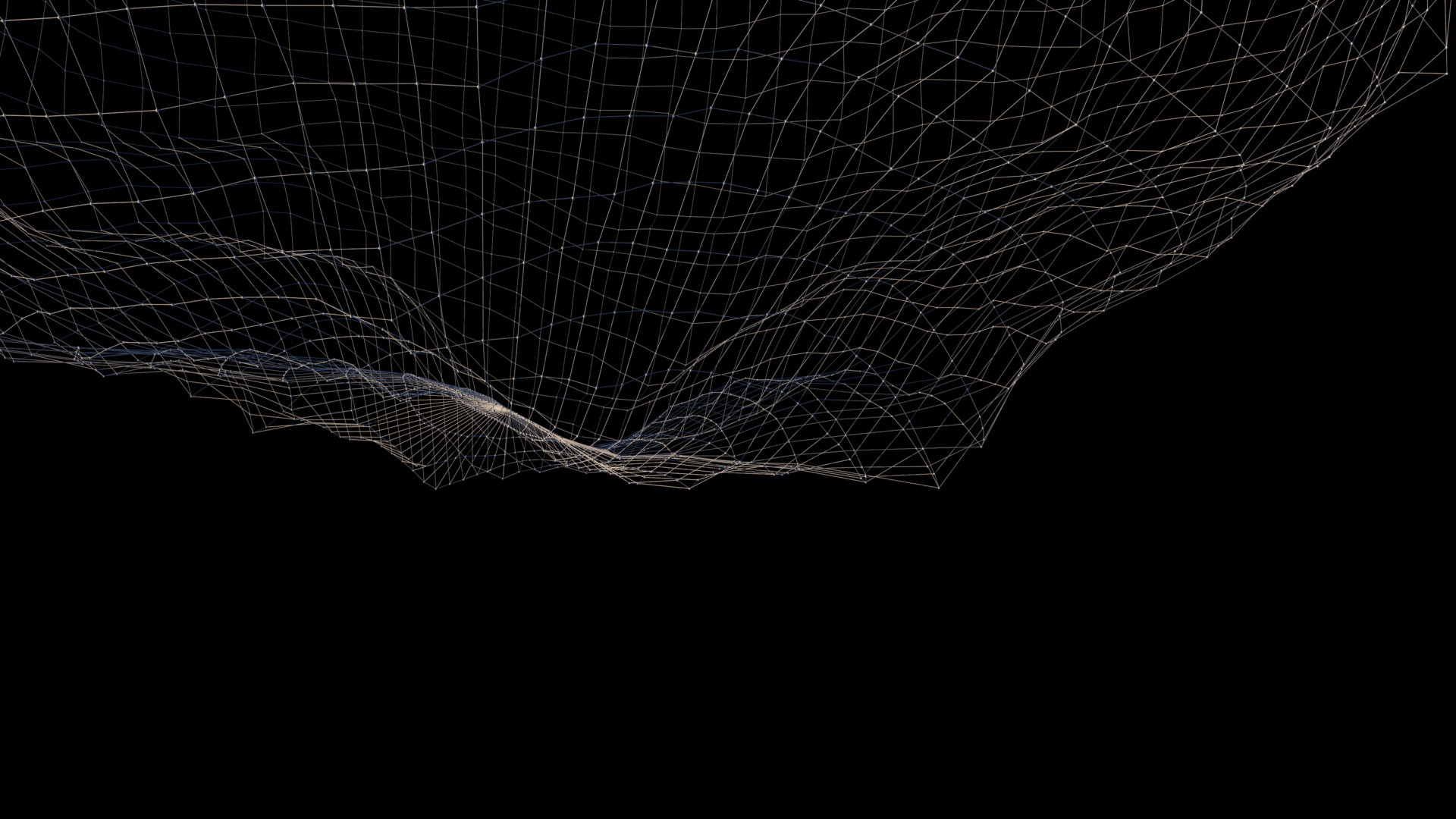
More and Faster Data
LEONHARD WEISS discovered Sodex through a DB startup program, which grew into a close collaboration. Today, they use Sodex systems for mobile mapping, civil engineering, and cable tracking.
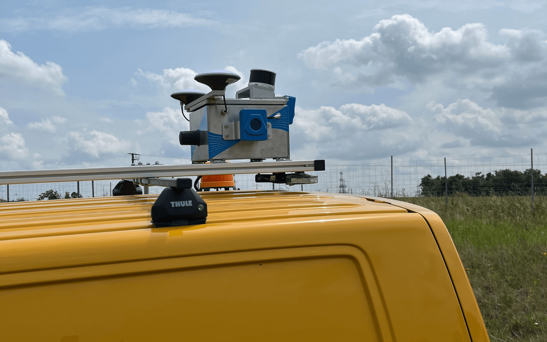
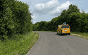
For road projects in urban areas, they rely on the SDX-Compact OnTop – ideal for fast and accurate scanning with 360° coverage and no drone-related restrictions. For excavation work, the SDX-4DVision captures trench and cable data directly from the machine. All collected data is processed and analyzed in SDX-Cloud, supporting efficient planning and documentation.
Customer Feedback
“Digitally recording and documenting several kilometers of construction roads as part of the SuedLink project was a major challenge. Using conventional methods, this process would have been extremely time-consuming and costly. However, thanks to Sodex, we were able to complete the documentation and inventory quickly and efficiently.”

Next Steps
Sodex as a Key Partner
LEONHARD WEISS plans to continue using the SDX-Compact OnTop and SDX-4DVision for mobile mapping and excavation documentation. Looking ahead, the company sees Sodex as a key partner in driving digital innovation and bringing more efficient, data-driven workflows into both the construction industry and their own operations.
The Result
The Full Overview for Everyone
By using Sodex systems, LEONHARD WEISS was able to document several kilometers of construction roads quickly and without complex approvals. The high-quality data was available to all project teams within a short time, saving both time and cost compared to traditional methods.
Customer Feedback
“We used to spend hours walking the site with a rover. Now we just drive once, and by the time we’re back, the data is already uploading.”
Turn your heavy machinery into surveying devices.