Loading page…

Landfill
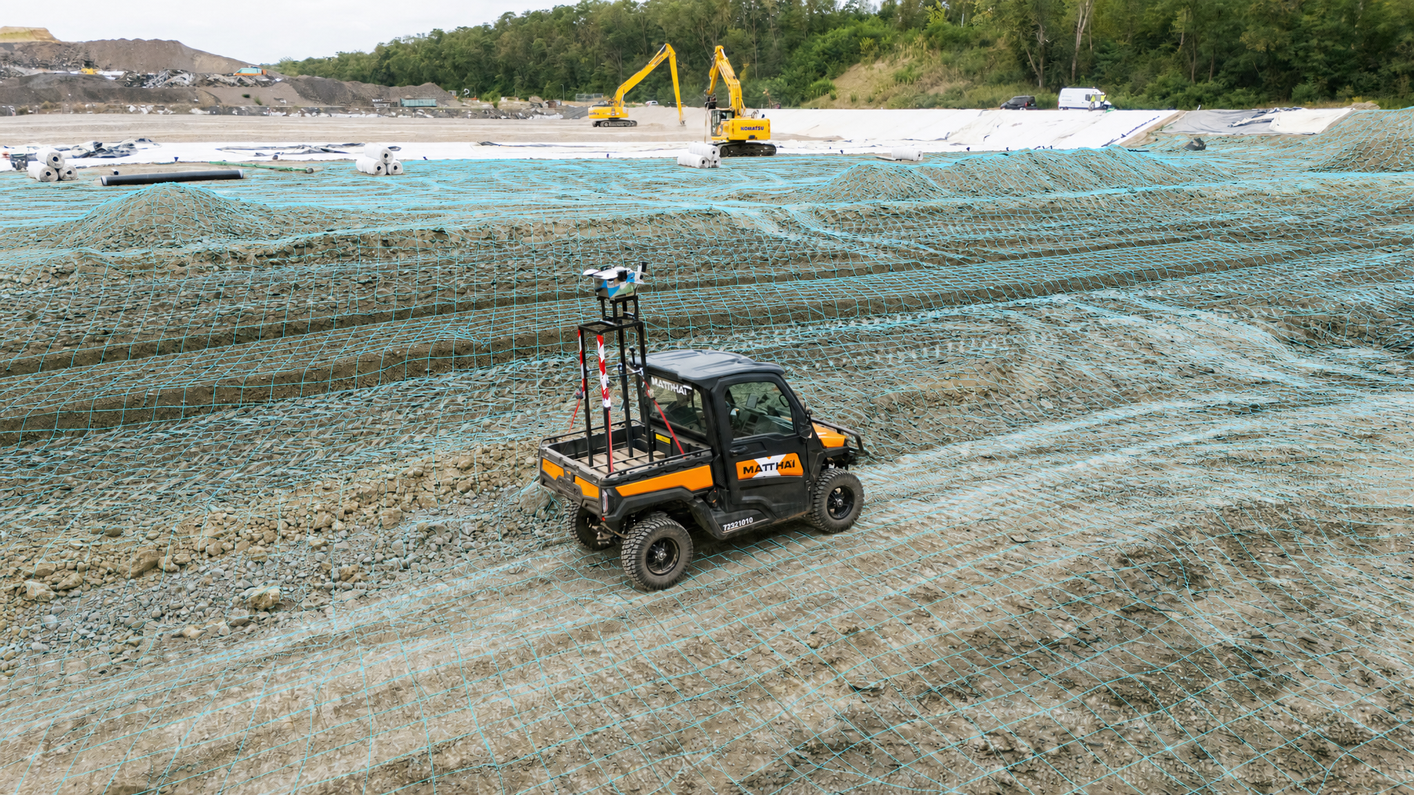
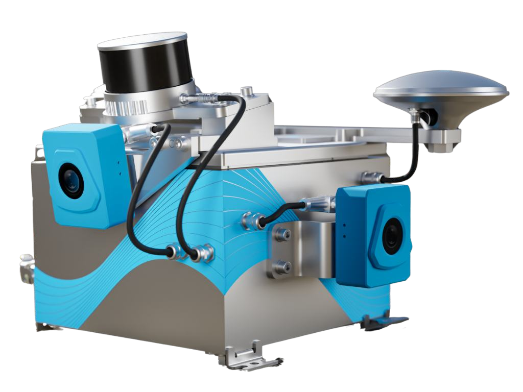
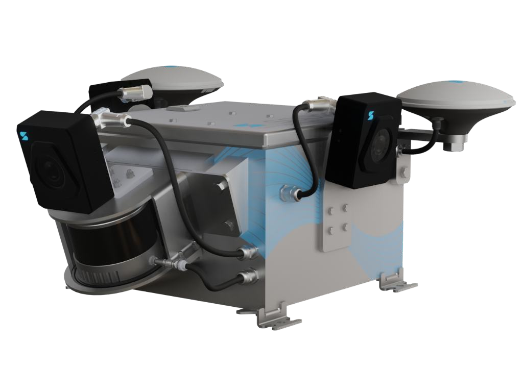
Capture landfill surfaces as equipped machines work or site vehicles make their rounds. Use SDX-Cloud to track filling progress, calculate remaining airspace against your fill design, and document changing site conditions over time.
site visits saved for surveyors
interval for new terrain data while machines work
operator interaction
Track landfill capacity. Keep a record of every stage.
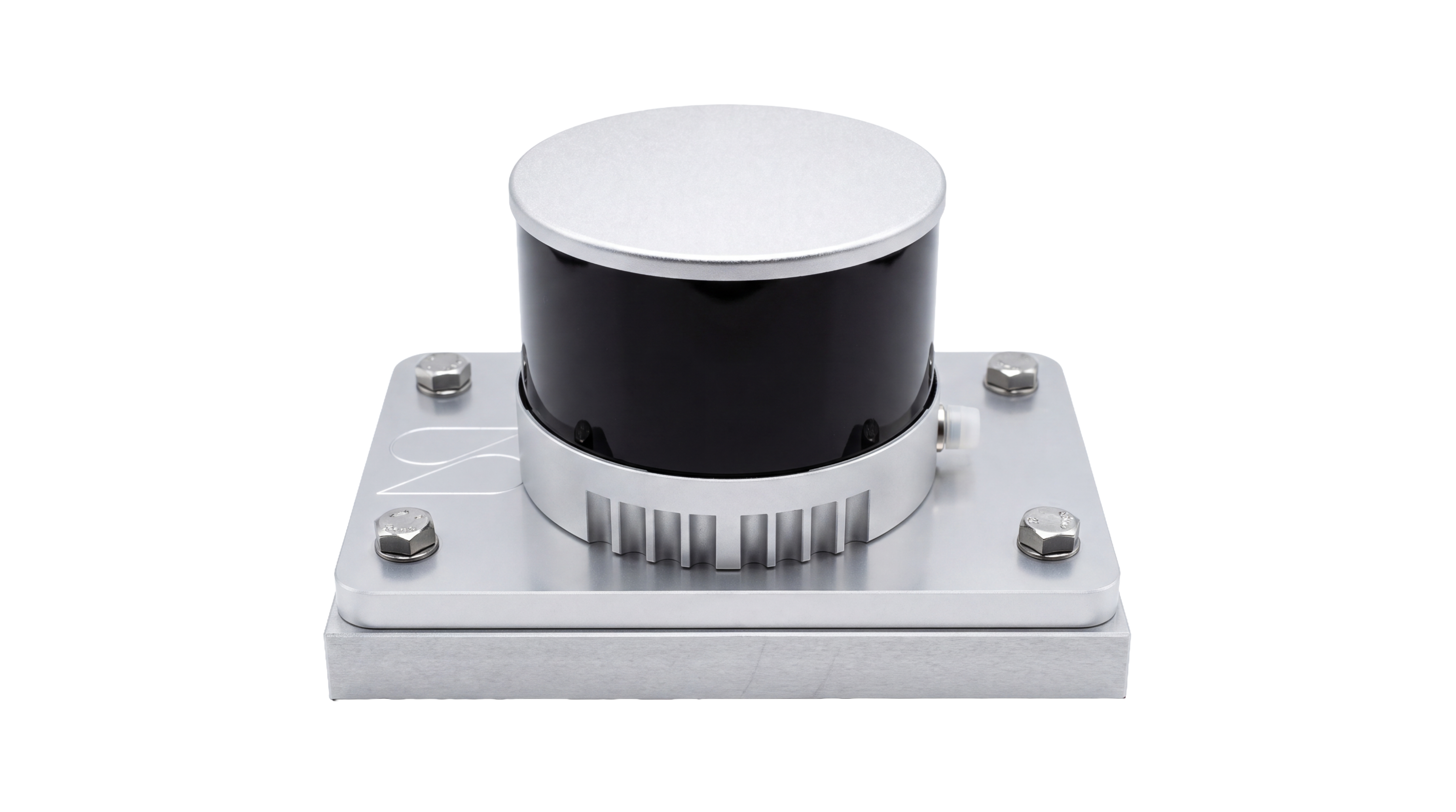
Landfill conditions change with every load placed and every layer covered. Bring captured surfaces, design models, and site photos together with scan data from SDX-Compacts into SDX-Cloud to track remaining airspace, document construction stages, and review changes during operation and after closure.
Track remaining airspace
Compare captured surfaces against your planned final grades to calculate remaining capacity. Follow airspace use over time to support cell planning and filling decisions.
Document layers before they’re covered
Capture visible liner, drainage, and cover surfaces before the next layer is placed. Compare successive surfaces to review layer elevations and thicknesses where capture quality supports the required detail.
Follow filling progress
Set up each cell as a zone in SDX-Cloud and automatic calculation enables to see where material has been added and how each cell is developing. Check progress against the fill design and retain a dated record of site conditions.
Reduce surveying on foot
Capture terrain from equipped machines or suitable site vehicles to reduce the need for separate walkover surveys. Review measurements in SDX-Cloud without sending someone out for every check.
Review changes after closure
Use repeat surveys to identify surface elevation changes and review slopes and drainage patterns. Support settlement monitoring with comparisons over time, alongside the site’s required inspections.
Record pipes before burial
Capture exposed leachate and gas collection pipes while they are still visible. Add measurements and attributes in SDX-CAD to prepare documentation for review and handover.
Build your landfill record as your site develops.
Capture landfill surfaces with machine-mounted scanning and combine them with drone surveys or other survey data in SDX-Cloud. Track filling progress, calculate remaining landfill airspace against your fill design, and compare surfaces over time. Keep dated records of each cell and construction stage, then turn measurements and site views into reports for your team and project stakeholders.
From landfill cell construction to post-closure monitoring.

Landfill construction documentation
Record liner and cover layers, plus exposed pipes, before they’re covered. Keep dated 3D records for review and handover.
Landfill airspace management
Track filling progress and calculate remaining airspace against your fill design to support capacity planning.
Surface and settlement monitoring
Compare repeat surveys to track surface elevation changes during operation and after closure. Identify areas that need closer inspection.
“To deploy the machines and personnel as efficiently as possible, we used the SDX-Compact and were able to see in near real-time, using the cloud solution, where material needed to be removed or added. This allowed us to optimize the entire process.”
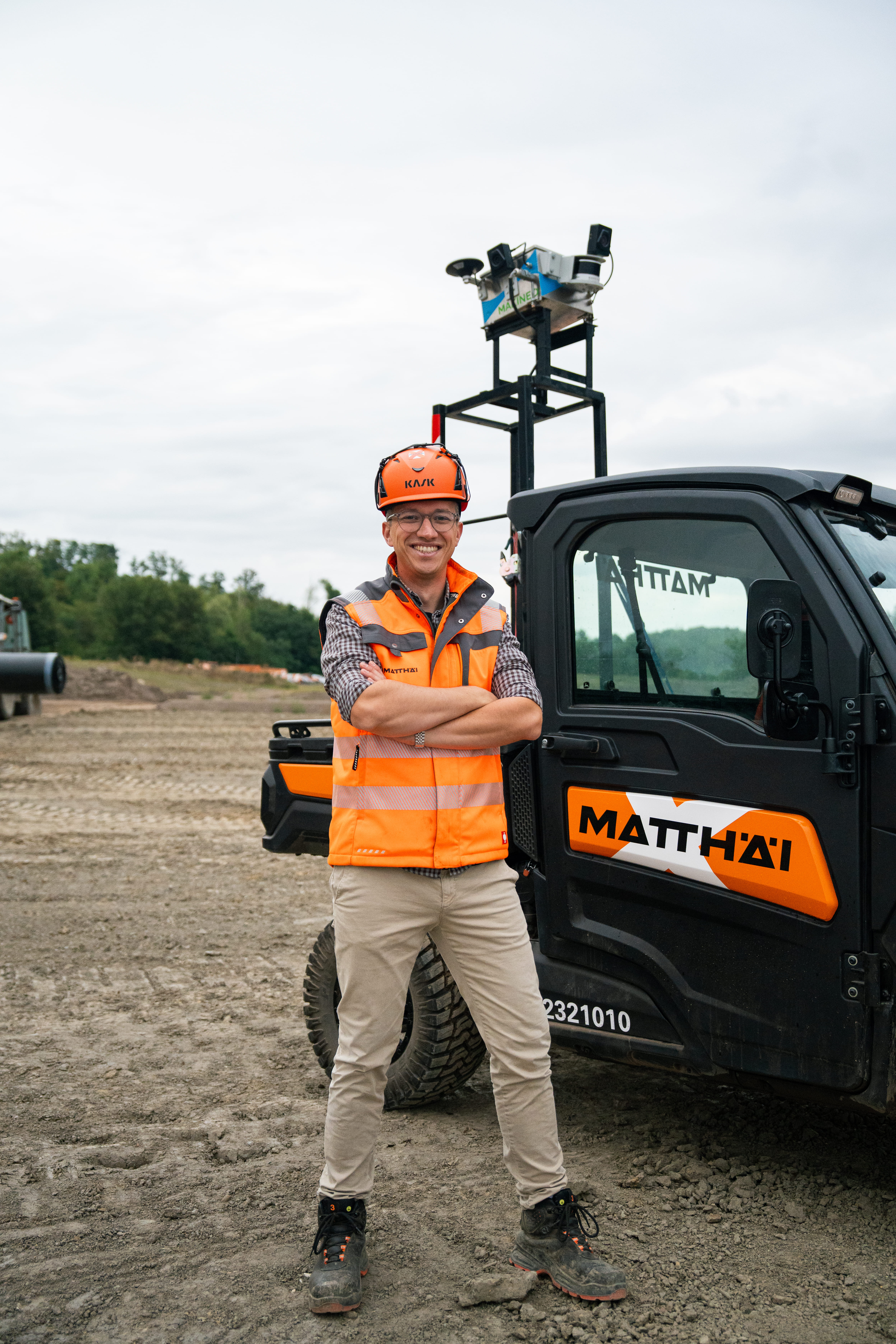 Fabian NiehoffConstruction manager, Matthäi
From site capture to landfill planning. One connected workflow.
Define your coordinate system, connect your capture systems, and add fill designs and reference surfaces. Mark the cells and areas you want to monitor and create dashboards to monitor filling progress.
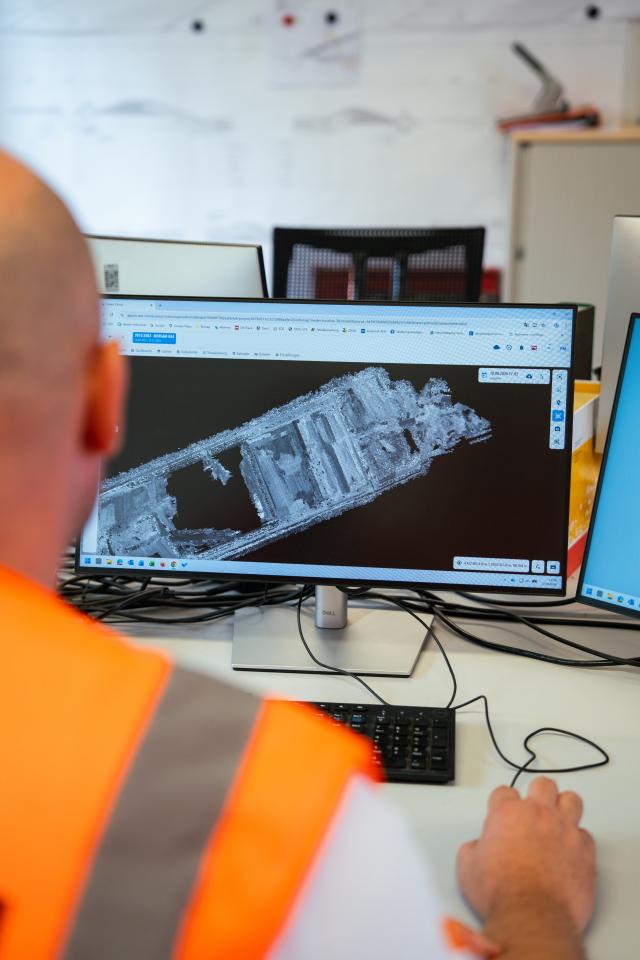
SDX-Cloud tools for landfill monitoring.
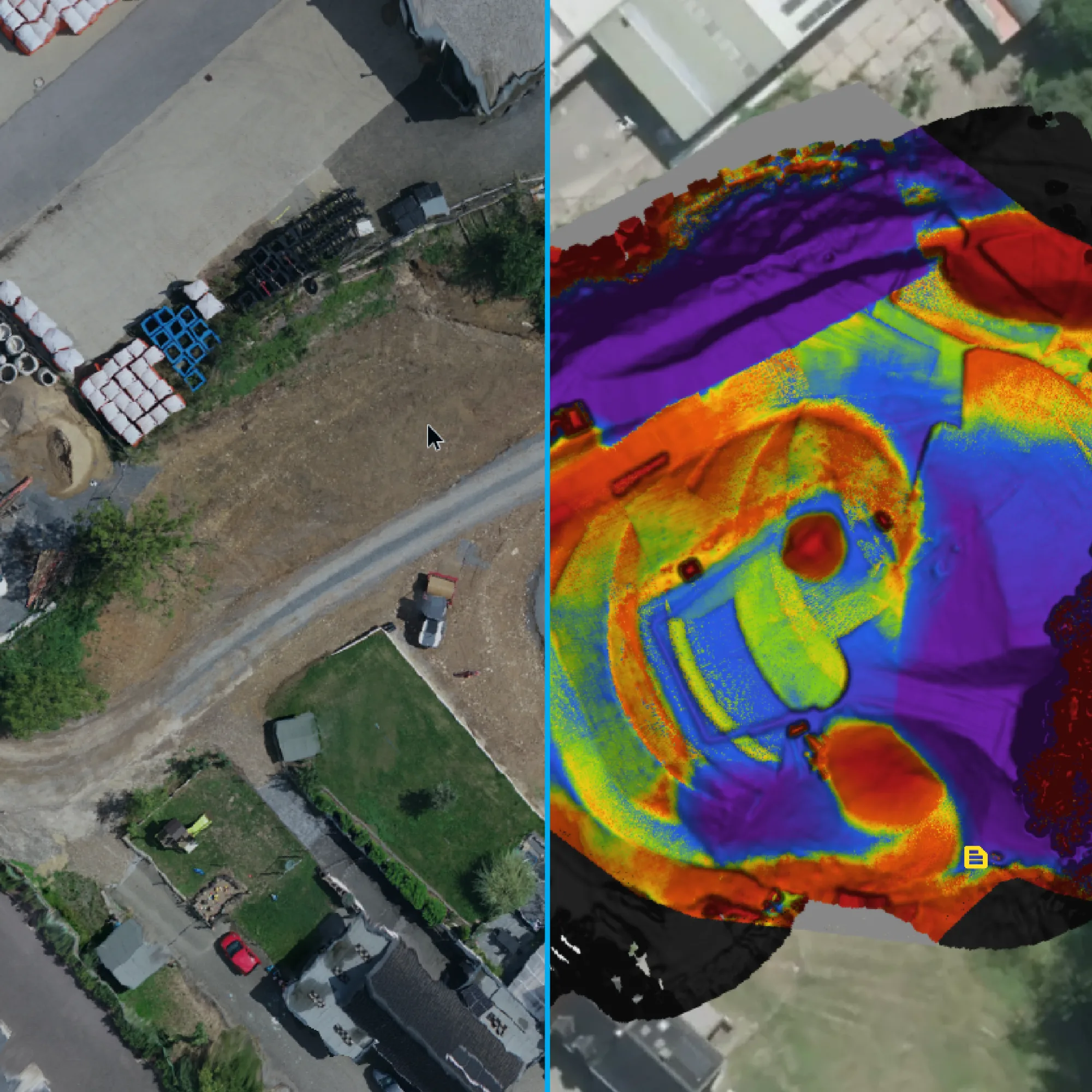
Surface comparison
Compare data from different dates or check terrain against your fill design. Use color-coded height differences to review filling progress, final grades, and surface changes over time.
Airspace calculations
Calculate remaining landfill airspace between captured terrain and your planned final surface. Define individual cells to track capacity and consumed volume over time in dashboards.
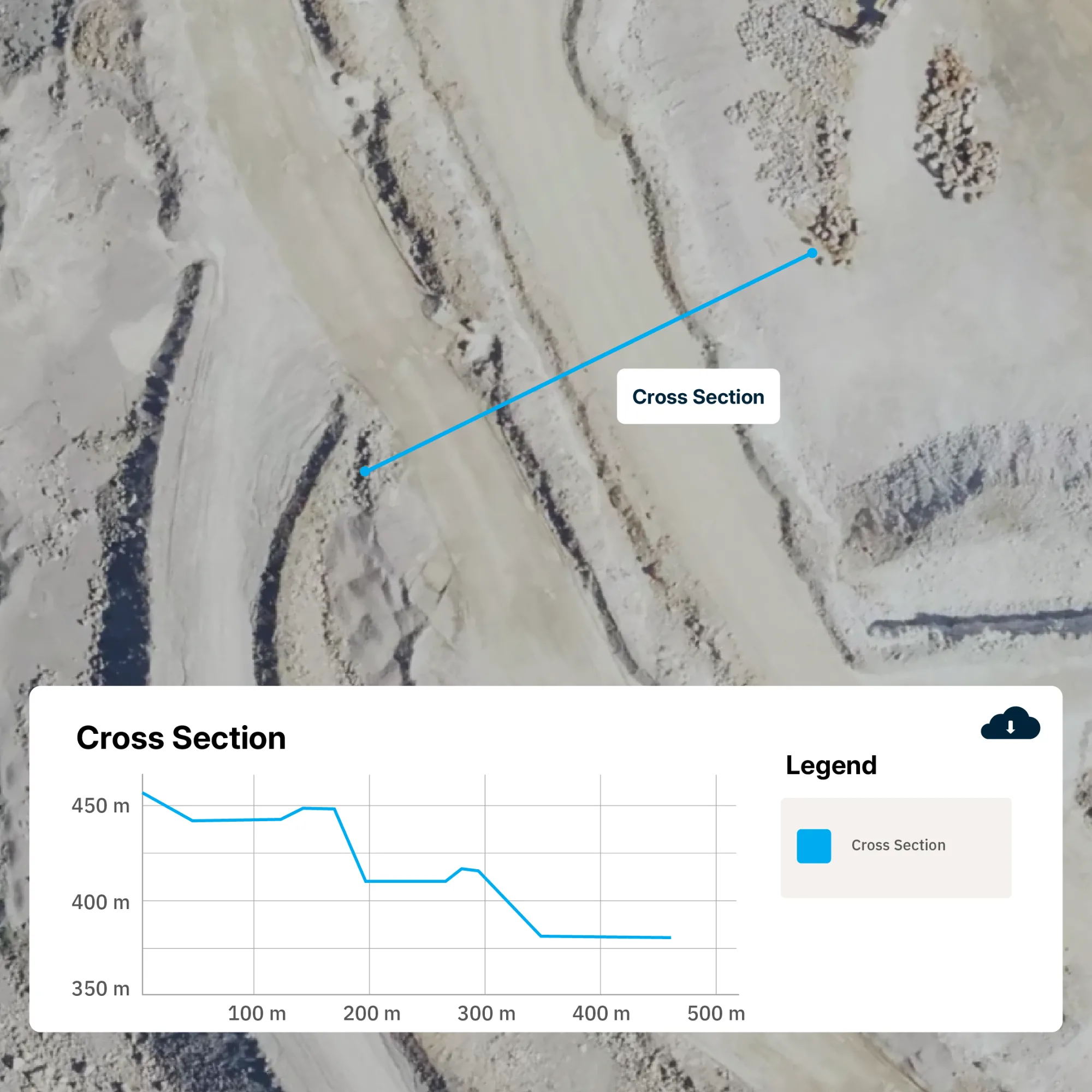
Cross-sections
Draw profiles through landfill cells, slopes, and cover surfaces. Overlay survey dates and design models to inspect local elevation changes and layer geometry.
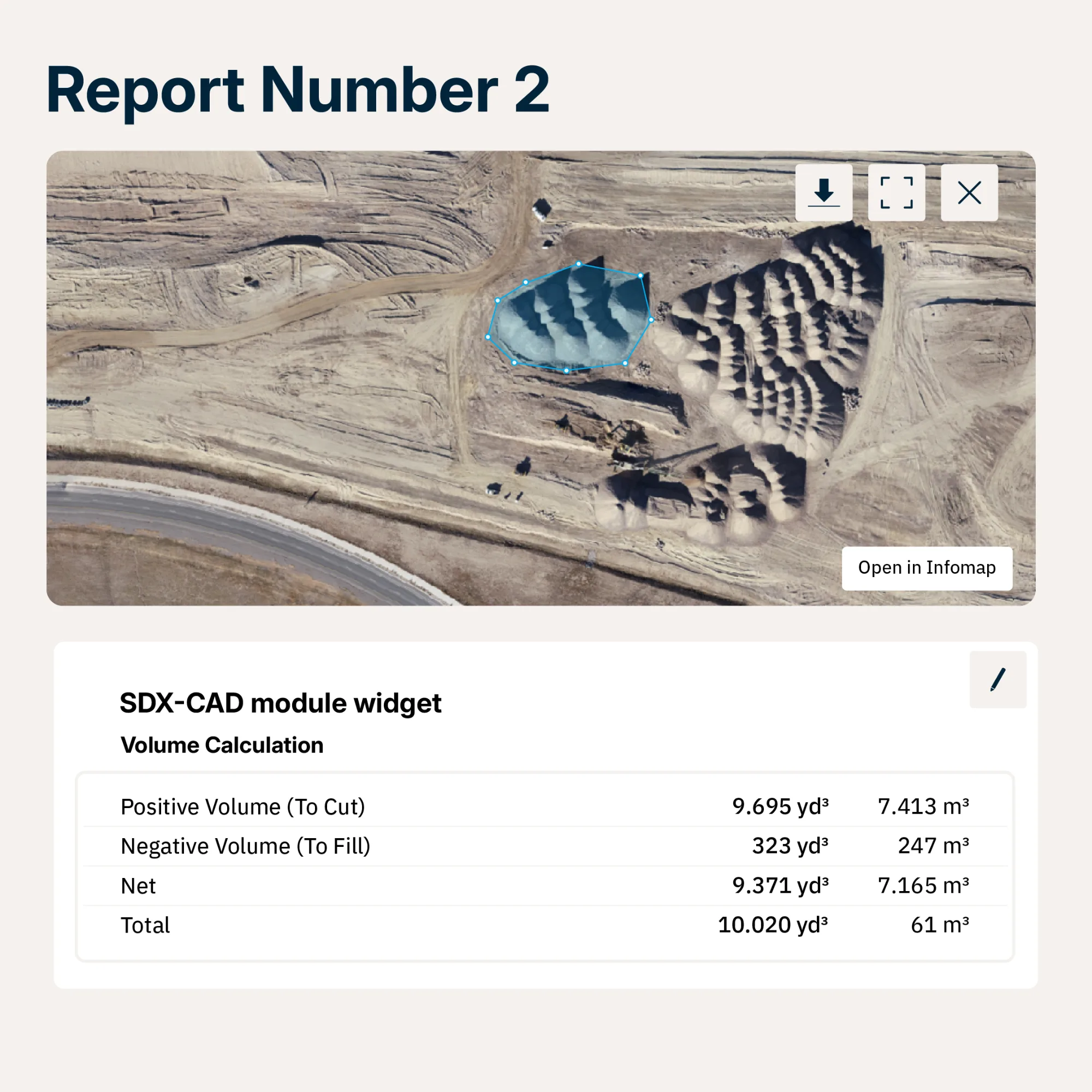
Reports and documentation
Combine annotated site views, measurements, and available photos in customizable reports. Export PDFs or share read-only document links for coordination, official documentation and reporting.

Explore our global network of channel partners.
Local partners in the United States, Europe, and Australia demo SDX-Systems on your site and support you before, during and after the purchase.
FAQs
Sodex Innovations helps landfill operators compare captured terrain surfaces with planned final grades in SDX-Cloud to calculate remaining airspace. As new SDX-Compact scan data becomes available, teams can follow capacity use over time and use the results to support cell planning and filling decisions.
News & Updates
Sign up for updates in construction tech, products, and industry insights.