Loading page…

Industries
From civil construction to aggregates and landfills, Sodex Innovations connects machine-mounted scanning, handheld capture, and drone survey data in SDX-Cloud. Track progress, measure quantities, and document changing site conditions. Explore your industry to find the right tools for your operation.
Your site changes every day. Your data should too.
An earthworks team needs to know how much excavation remains. A quarry manager checks floor elevations, while a plant operator tracks stockpile inventory to plan the next delivery. A utility crew documents installed pipes before backfilling, and a landfill operator tracks remaining airspace.
Different tasks, one shared need: current site information your team can act on.
Sodex Innovations combines machine-mounted and handheld capturing methods with SDX-Cloud, where drone surveys and other survey data can complement the project. Turn captured site conditions into measurements, surface comparisons, inventory dashboards, and documentation to support daily decisions, invoicing and documentation.
From site capture to better decisions. One connected workflow.
SDX-Cloud is not limited to data captured with Sodex systems. Bring machine scans, handheld captures, drone surveys, and design models together in SDX-Cloud. Turn 3D site data into measurements, comparisons, and clear information your teams can use.
Choose machine-mounted or handheld capture to suit the work, or bring in existing survey data and drone images. Combine Sodex scans, drone surveys, and point clouds from other scanners in one project alongside your plans and design surfaces.
Proven across all industries.
Teams from quarries to pipeline projects document their sites with Sodex.
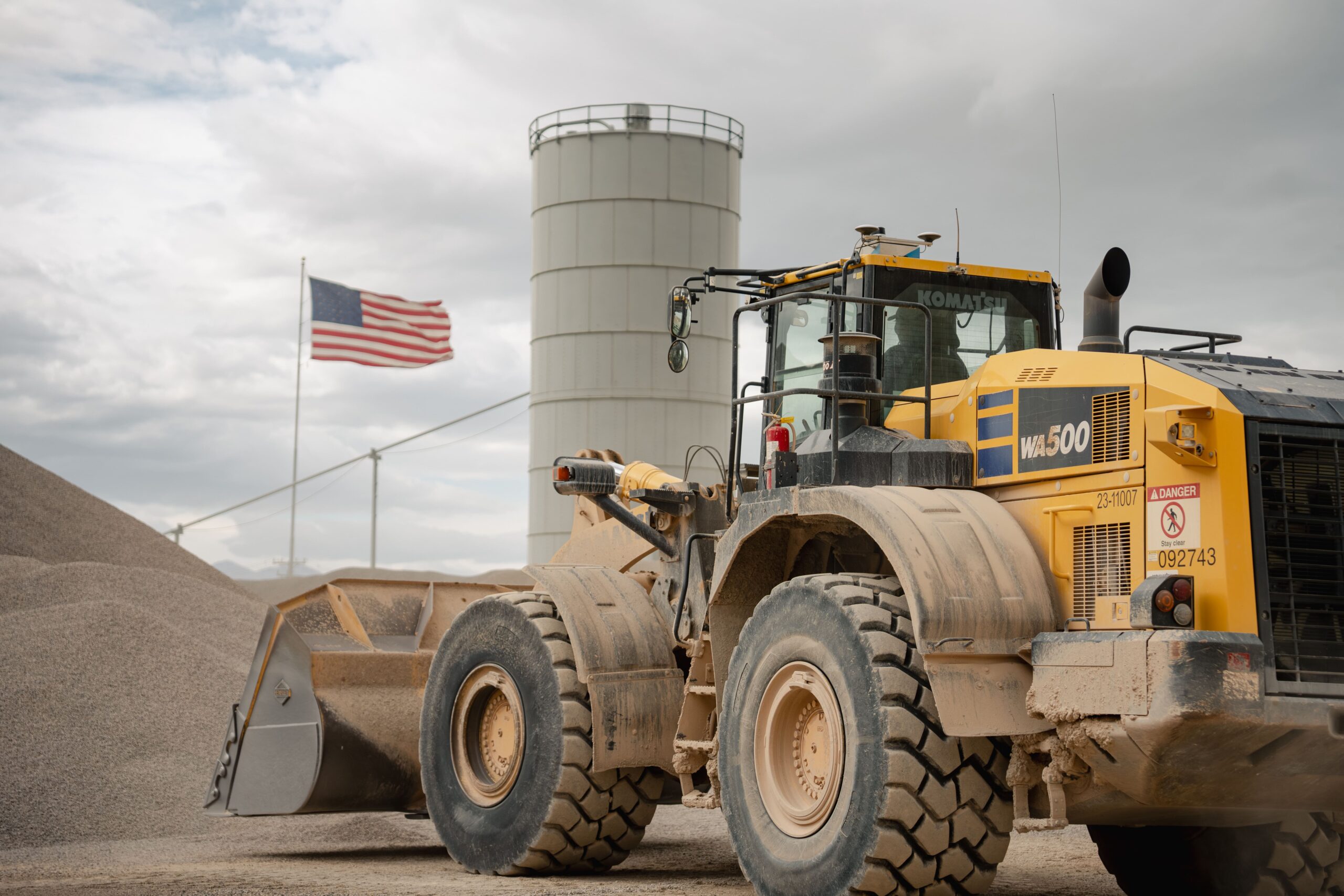
Aggregates Plant
Staker Parson, Beck Street Quarry
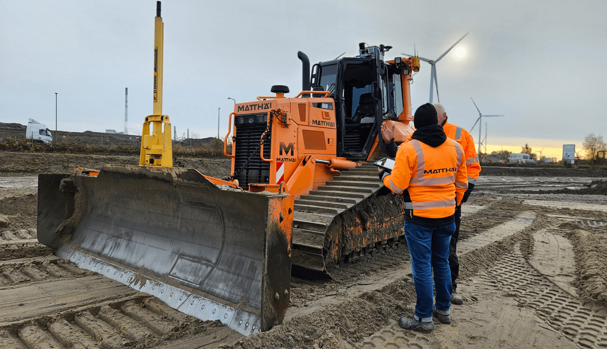
Earthmoving
Matthäi at Unterweser
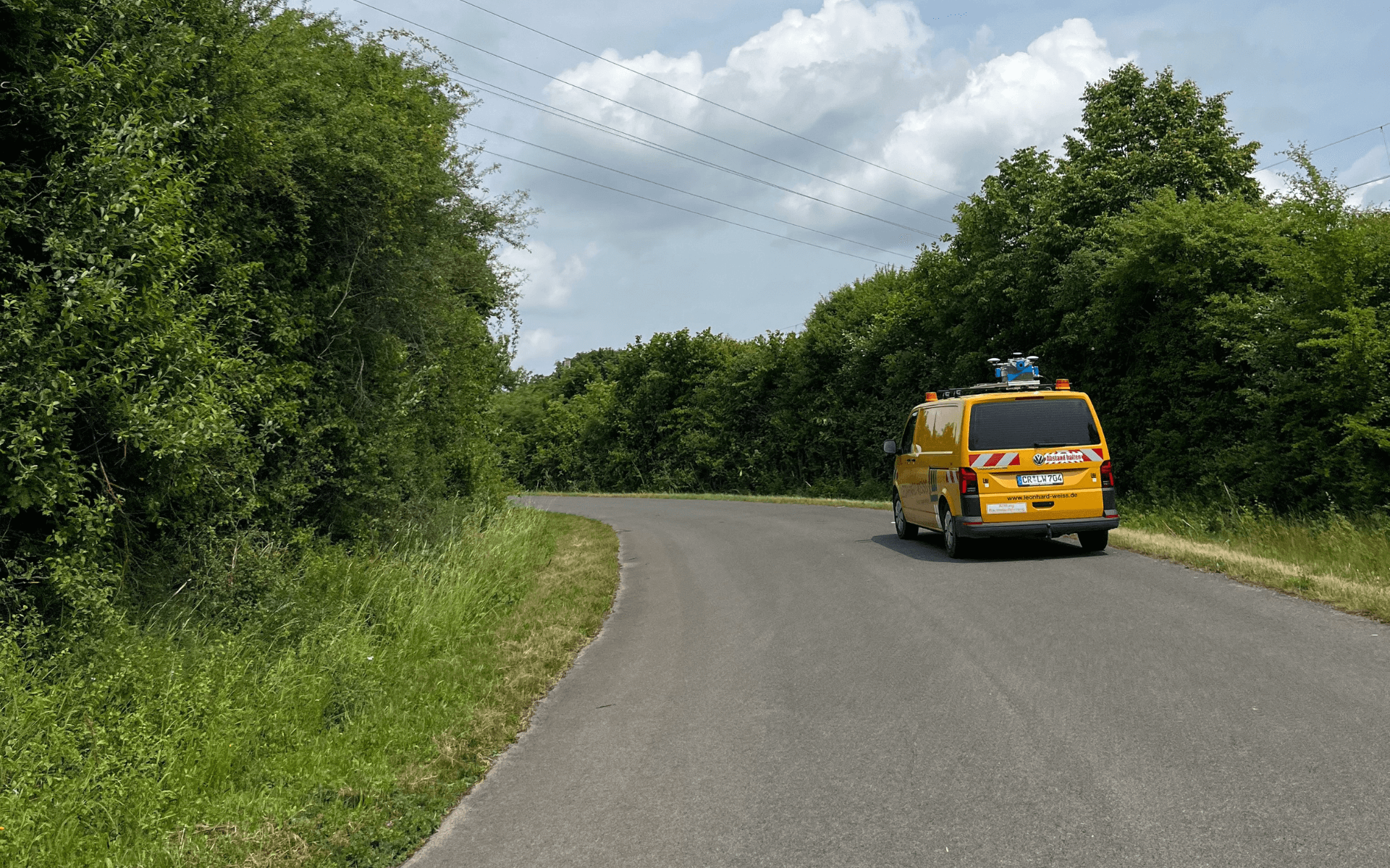
Underground Utilities, Road Survey
LEONHARD WEISS for SuedLink
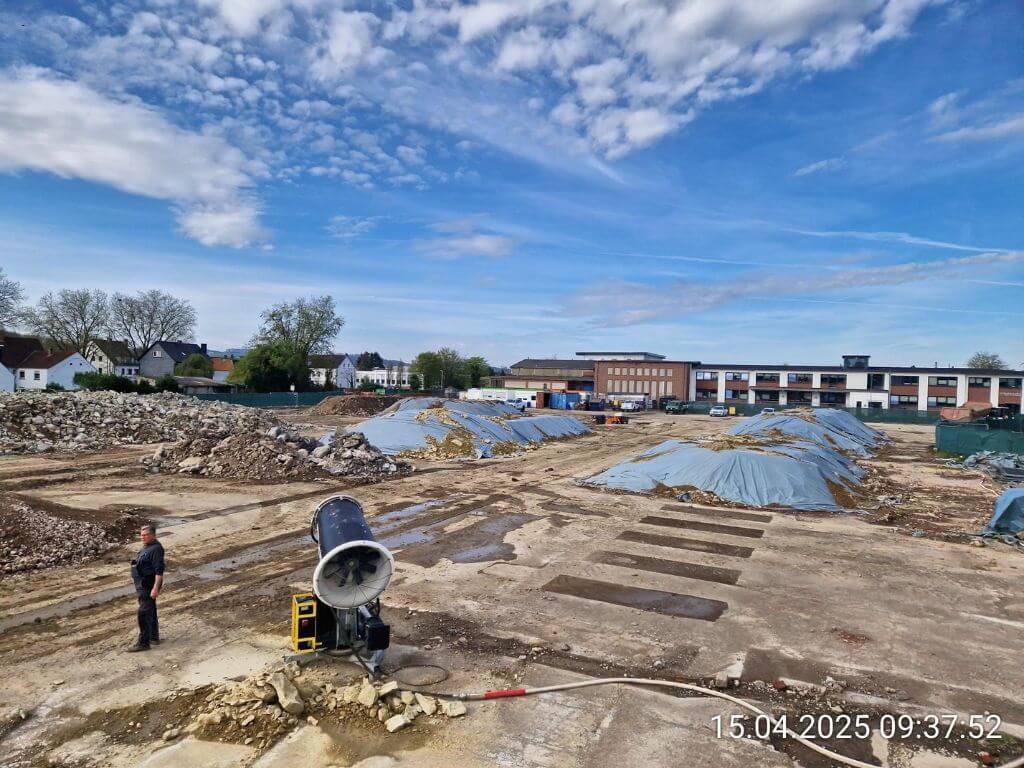
Earthmoving
Ecosoil soil remediation
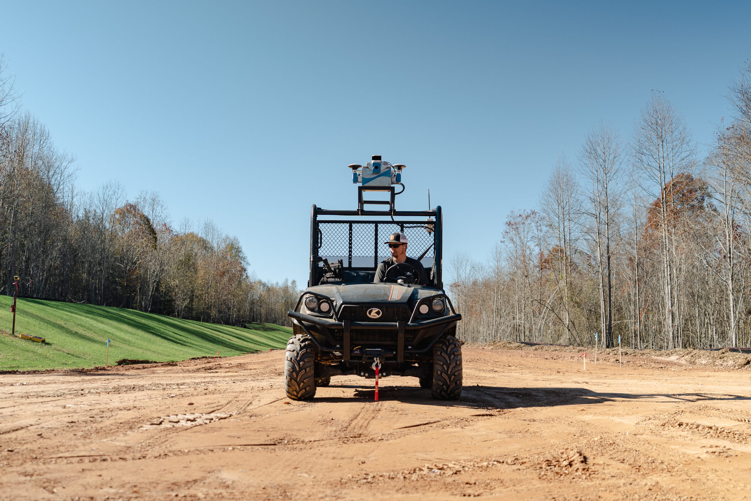
Civil construction
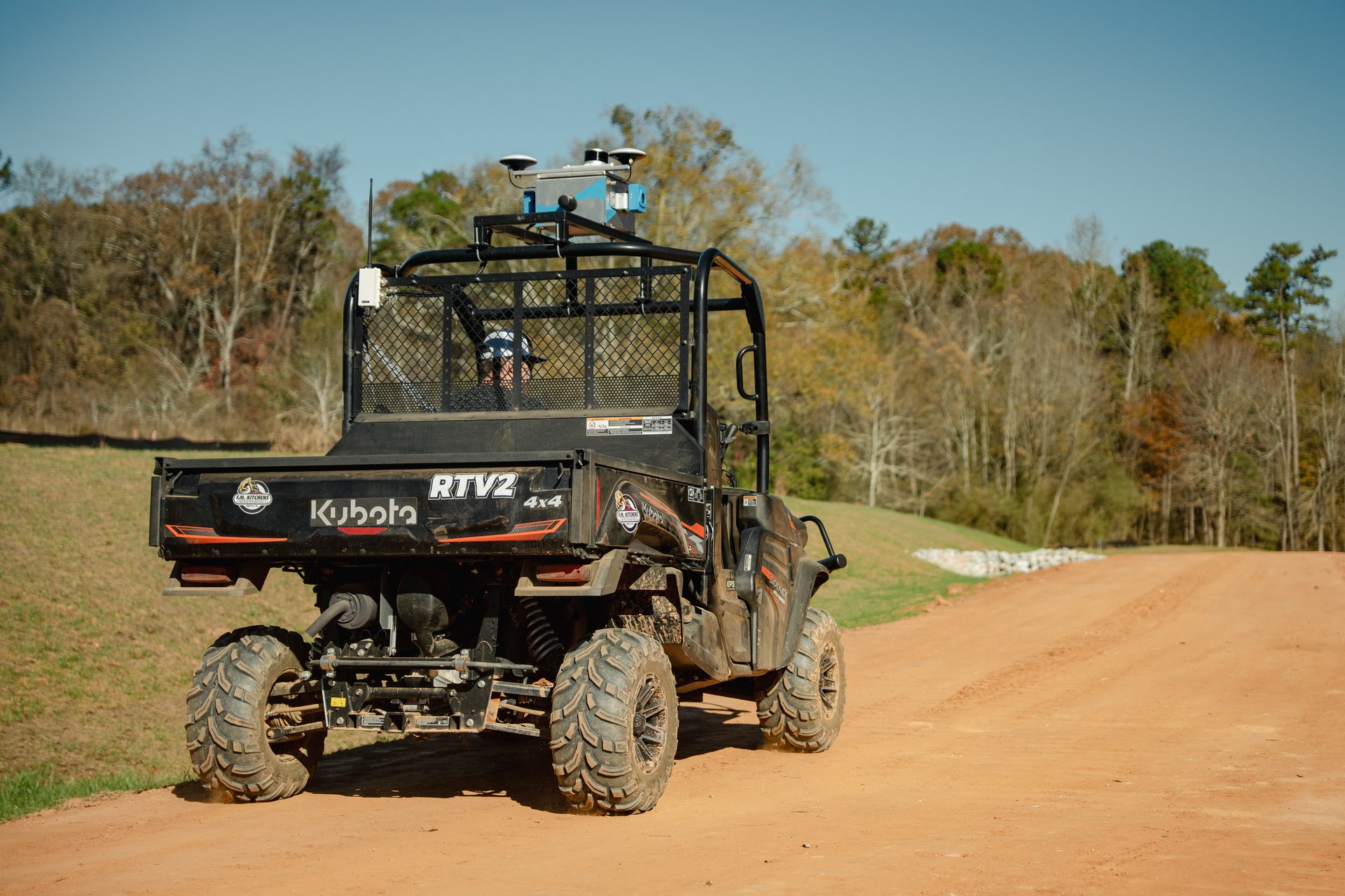
F.M. Kitchens, Canaan Development
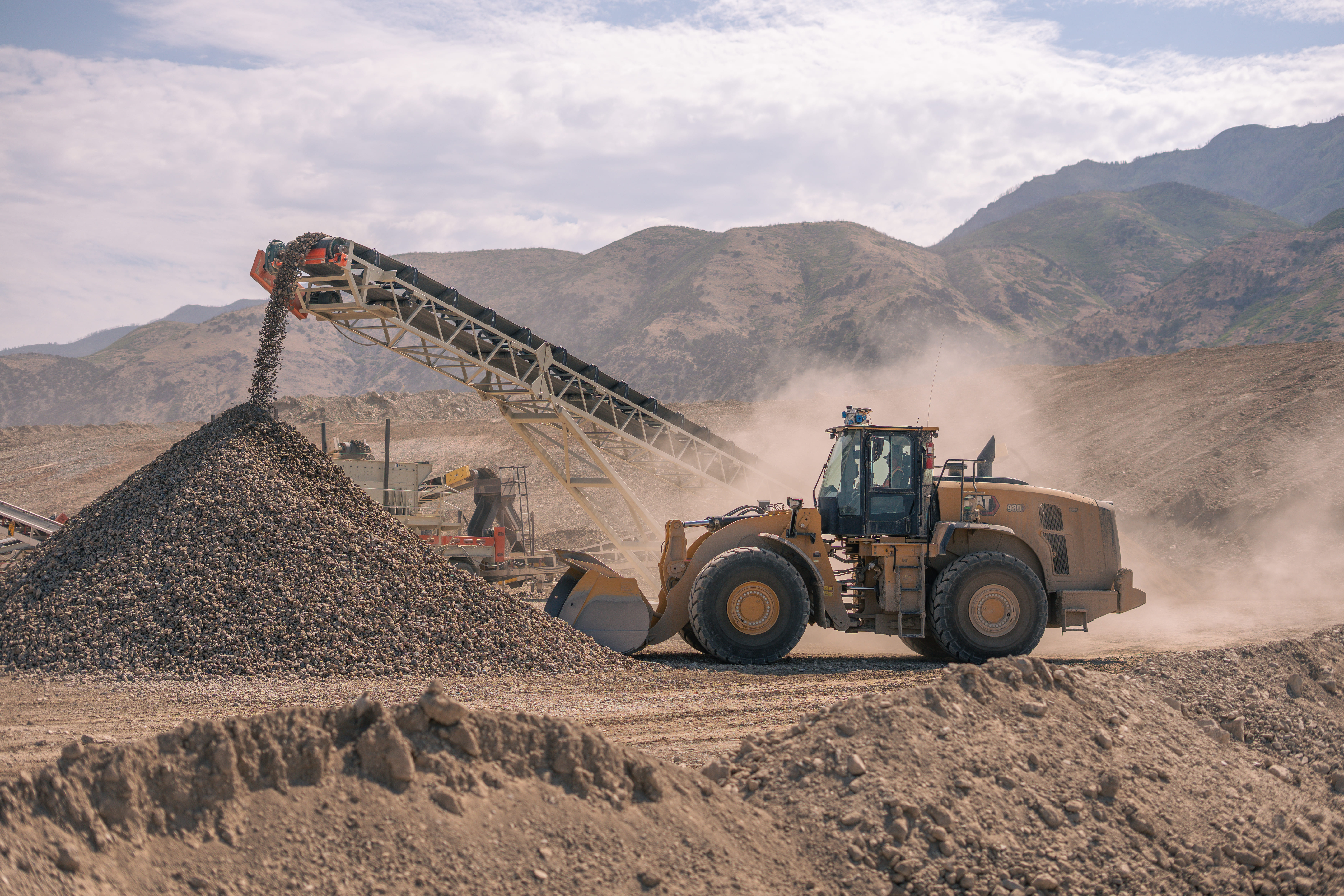
Aggregates & Quarries
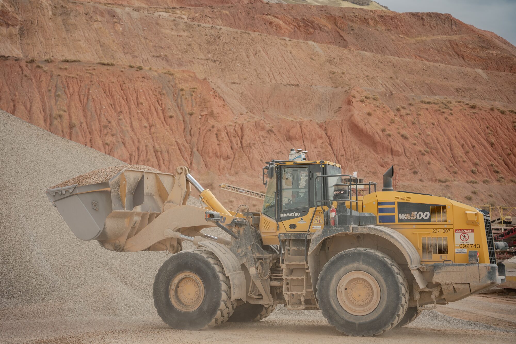
BHI aggregates plant
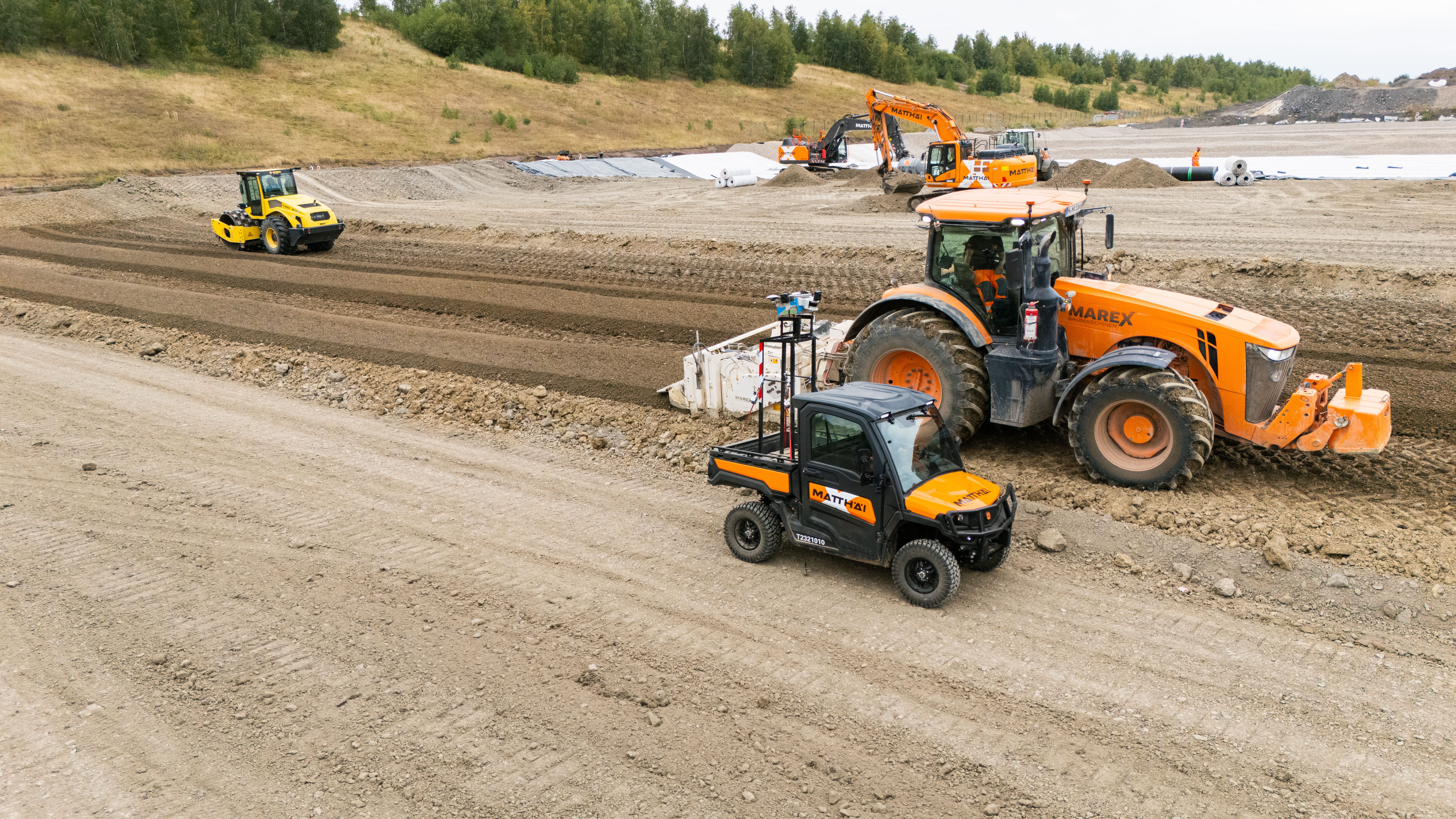
Landfill
Matthäi automates surveying
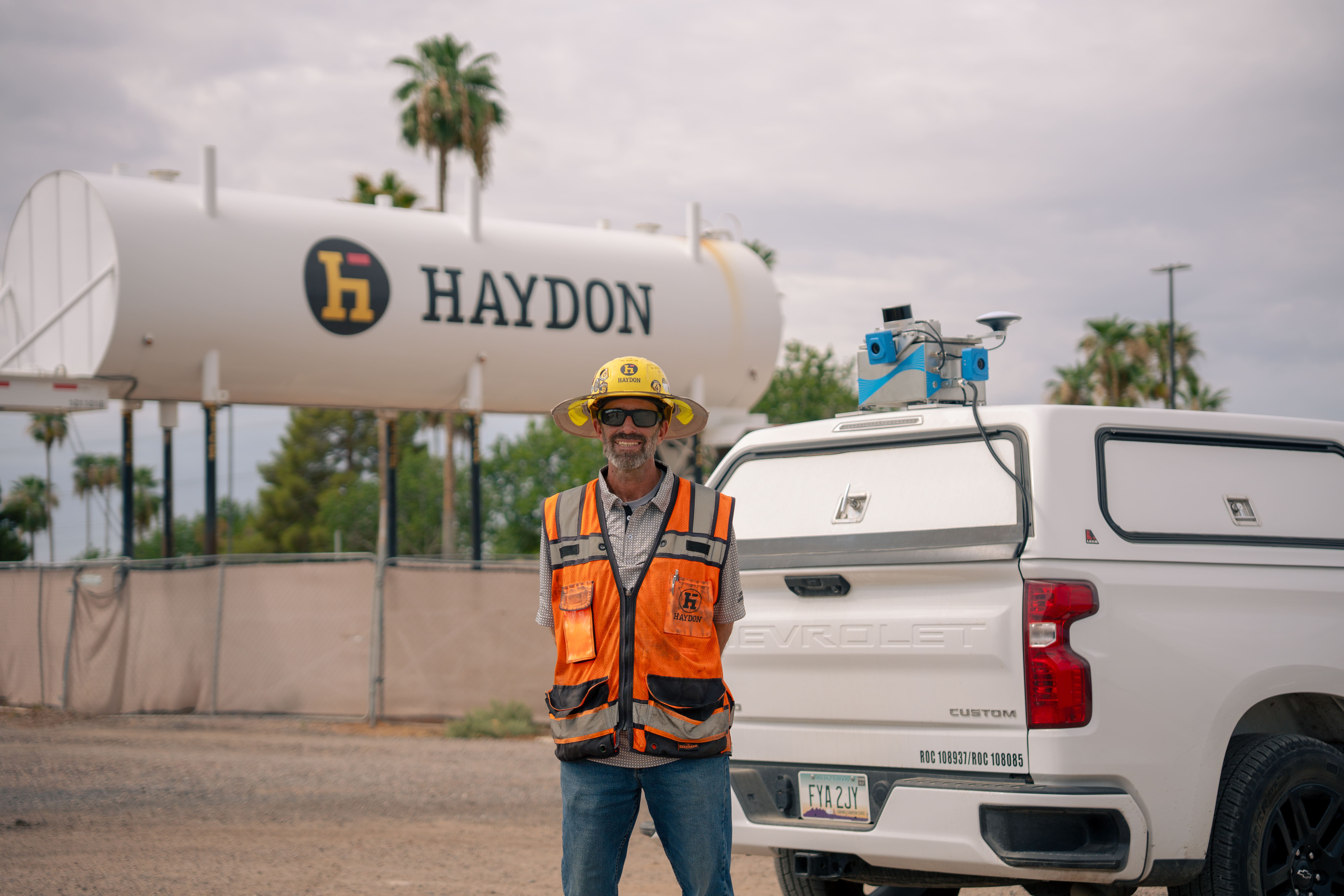
Earthworks, Underground Utilities
Haydon cuts surveying time
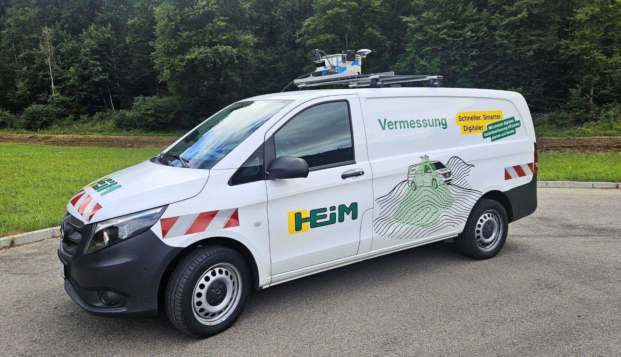
Civil Construction
HEIM site surveying
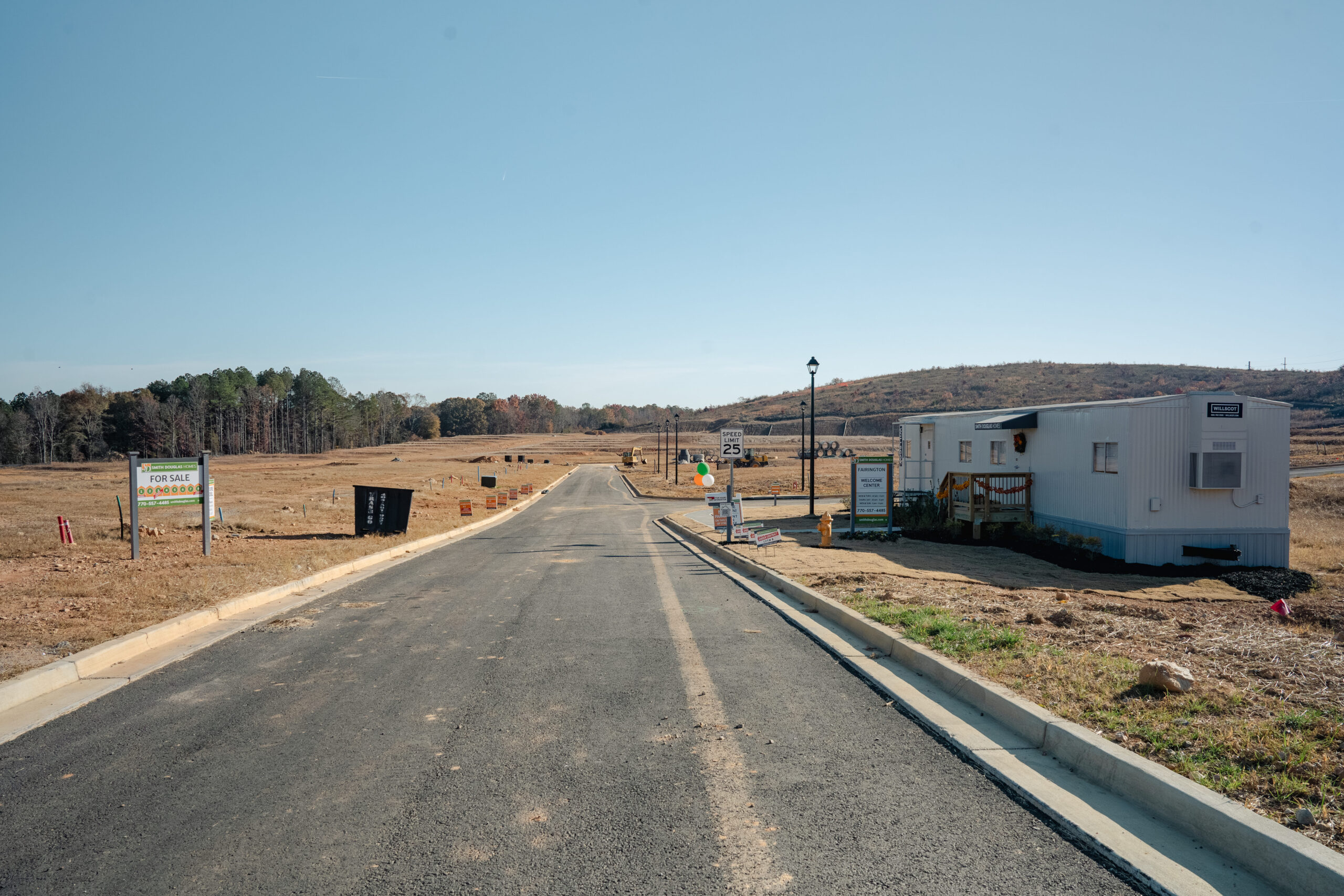
Civil Engineering
United Grading site validation
FAQs
Sodex Innovations provides automated surveying and cloud-based data analysis for earthworks, civil construction, aggregates and mining, and utility and pipeline construction. Its solutions help teams document terrain daily, measure material volumes, track site progress, and maintain digital records of completed work.
News & Updates
Sign up for updates in construction tech, products, and industry insights.