
Beyond Drone Limitations
United Grading needed a faster and more flexible way to process site data. While drone surveys can provide aerial coverage, they come with regulatory requirements such as pilot licensing and airspace restrictions. These limitations can delay or complicate data collection.
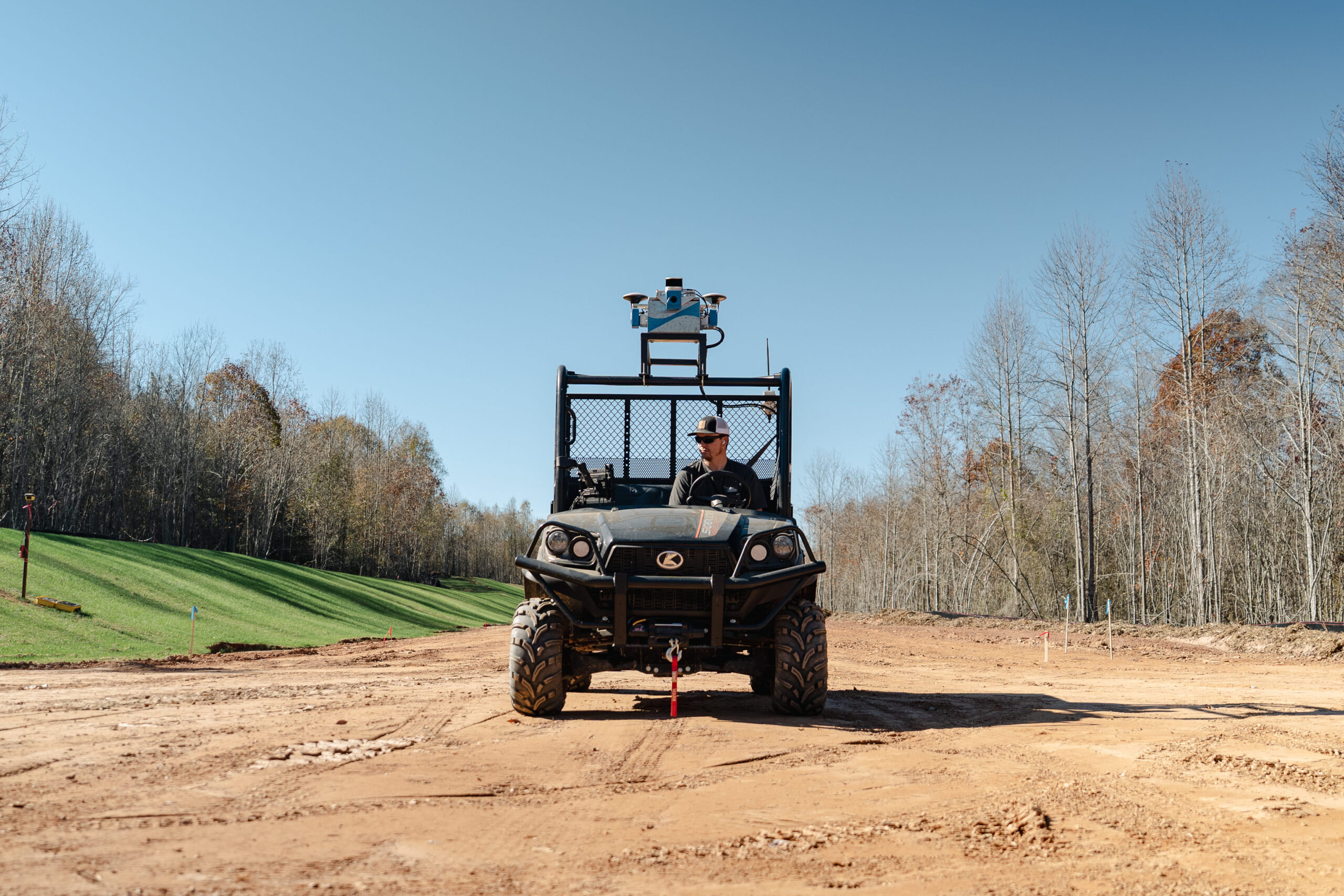
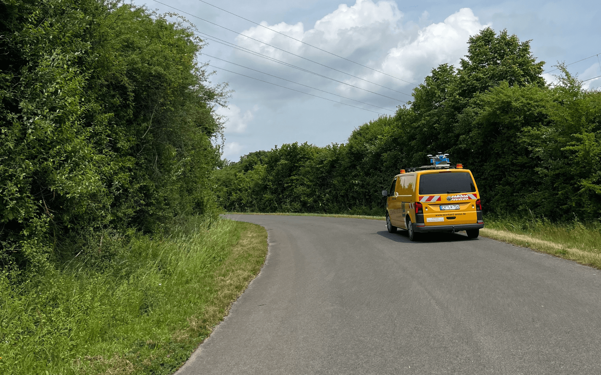
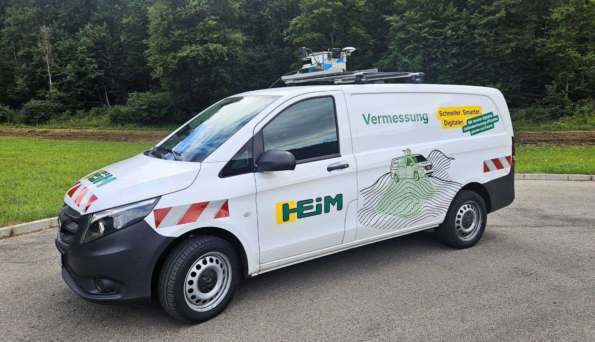
In addition, drone data does not always allow for the level of control the team requires. With SDX-Compact OnTop, United Grading captures colorized point clouds and photo documentation directly from the ground. The data then can be reviewed and edited, including removing machinery or unwanted objects, providing a cleaner and more usable dataset for analysis.
The team was looking for a smoother, more controllable workflow that would eliminate delays and simplify processing.